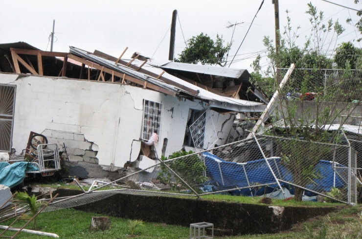
Scientists Successfully Forecast Costa Rica Earthquake
2013.12.27

Earthquakes is a part of nature we can't prevent, and it destroys homes and lives. The worst part is that it's difficult to forecast an earthquake accurately, unlike the weather.
But scientists at the Georgia Institute of Technology reported success for their forecast of an earthquake last year; they figured out the earthquake's location, and its magnitude.
In September 2012, the Nicoya peninsula of Costa Rica experienced an earthquake with a 7.6 magnitude. There were, fortunately, no fatalities despite the strength of the quake. This could be that the forecast had the area prepared for the worst: doing what they could to make buildings more secure and making its people aware of what to do when an earthquake happens.
The scientists mapped out the area of the fault line and its subduction in their forecast: one plate pushing under another. These plates are constantly moving and sometimes slip, producing a large earthquake. This particular region is prone to earthquakes of at least a 7 magnitude, so they researched the patterns using GPS stations that monitored every movement made by the plates in that region.
Unfortunately, a forecast isn’t the same as a predicting an earthquake. However, Nicoya was a special case study:
“Nicoya is the only place on Earth where we’ve actually been able to get a very accurate image of the locked patch because it occurs directly under land. If we want to understand the potential for large earthquakes, then we really need to start doing more seafloor observations.”
But with enough warning, like with weather forecasts, precautions can be taken to protect both buildings and people. This, along with new technology like early earthquake warning systems and apps that help detect impending quakes, more lives can be saved when large earthquakes strike.[Smithsonian]
Image via
More Articles
Copyright © Fooyoh.com All rights reserved.