This Is How GPS Would Look Like if It Were Art
2017.01.16

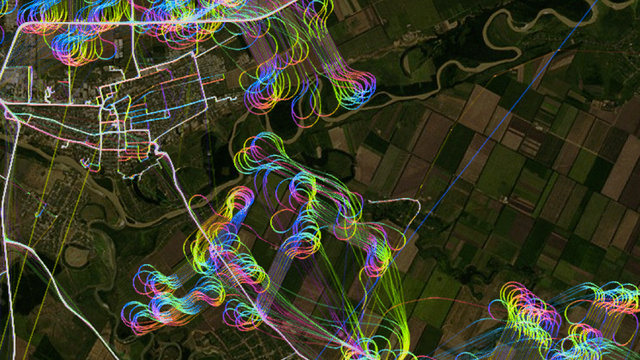
You're looking at a set of GPS data and it wasn't done by any light artist. Instead, it was gathered from a crop-dusting aircraft, hence the looping routes.
The map above was put together by MapBox, which used GPS data and aerial imagery to create the art piece above. Even GPS can look all artsy.
[New Scientist]
Image by Eric Fischer/Mapbox
More Articles
Copyright © Fooyoh.com All rights reserved.